AgriRadar
Fast and precise geomatics to meet your farming needs
Fast and precise geomatics to meet your farming needs
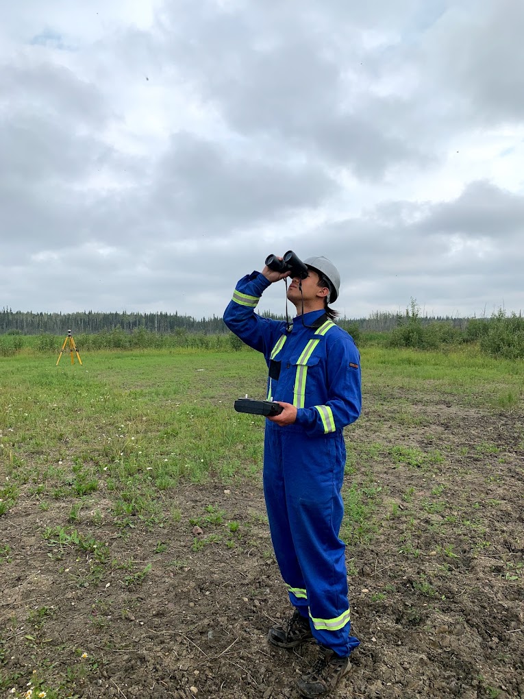
Helping you stay on top of your crops by providing insights into crop health. Our drones are capable of indentifying shortcomings in equipment, irrigation or fertilizers. Providing you with the ability to make adjustments in the right areas.
Learn MoreOur drones help you monitor your land, keeping track of borders and topography. We can find slope and elevation data to help optimize seeding rates and spacing.
Learn More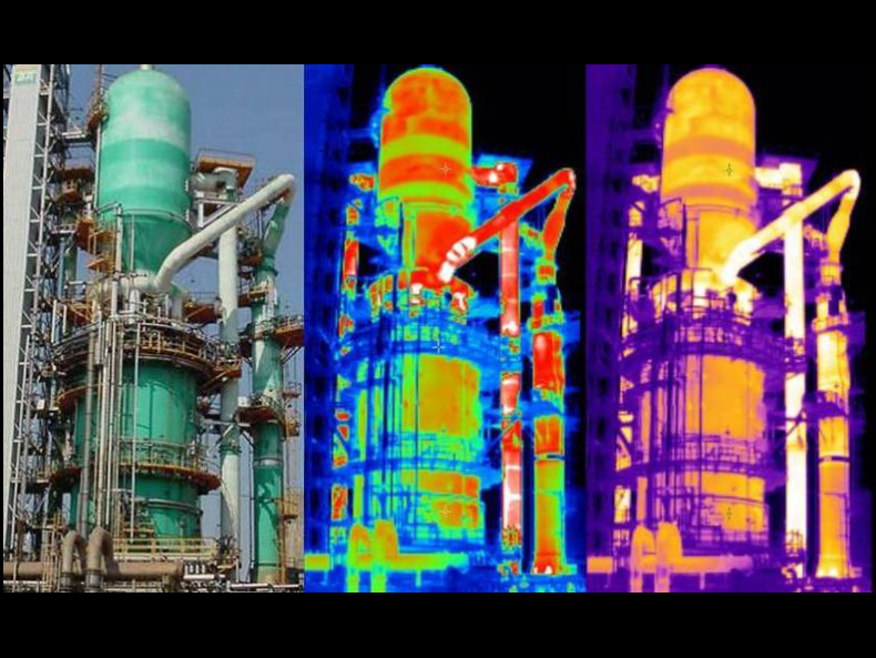

Turn data into decisions. Using AI-driven analysis, we transform aerial data into predictive insights. Enabling crop health assessment, yield forecasting, and automated anomaly detection at scale.
Learn More
Developing AI models for AFSC to auto detect crop boundaries and damage due to animals. This has helped farmers get claims resolved 70% faster.
Learn More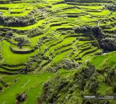
Using RADARSAT satellite imagery, we mapped cultivated areas across key rice-producing regions yield forecasts for the province of Nueva Ecija, Philippines.
Learn More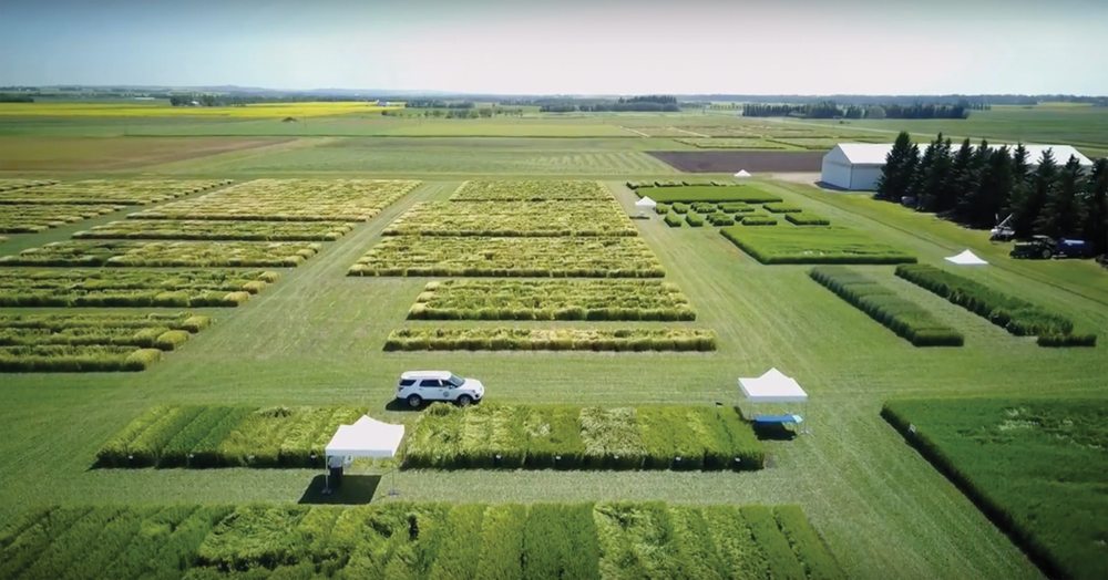
Developed an advanced AI model capable of accurately delineating farm boundaries while intelligently excluding adjacent properties.
Learn MoreReliable aerial surveys across Western Canada. Providing LiDAR mapping, UAV services, point cloud, hyperspectral and thermal inspection to our valued clients.
Learn More