About Us
Reliable aerial surveys across Western Canada
Reliable aerial surveys across Western Canada
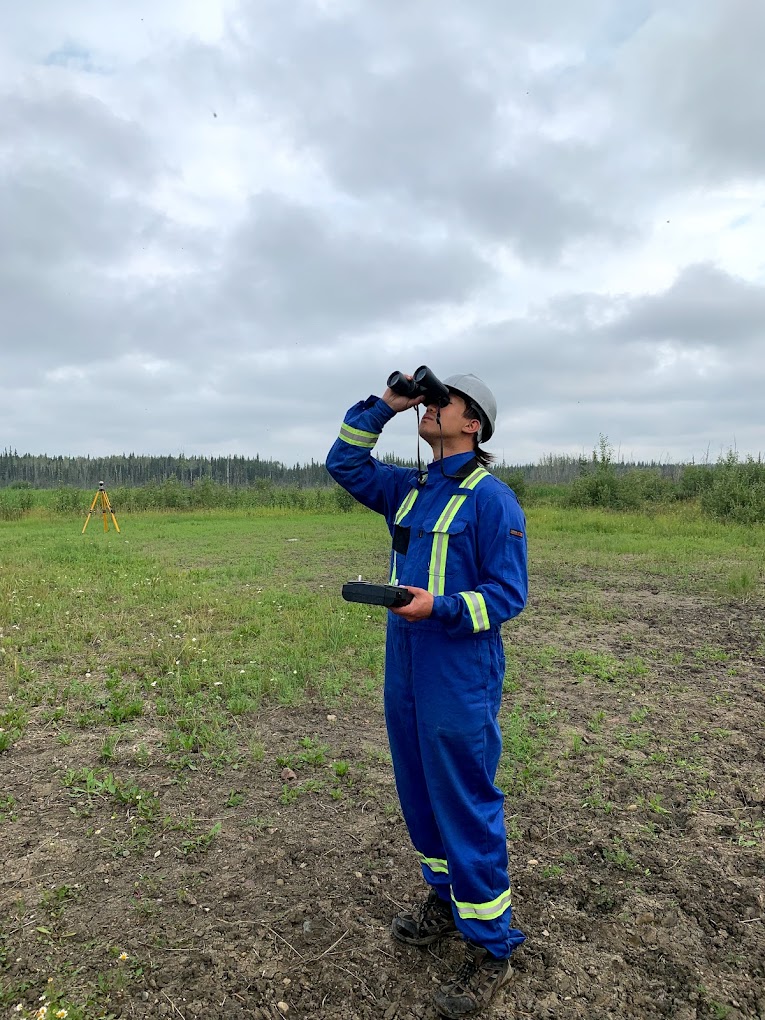
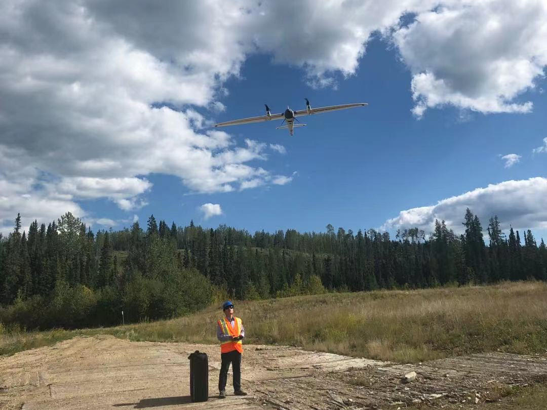
We provide reliable aerial surveys across Western Canada. Providing LiDAR mapping, UAV services, point cloud, hyperspectral and thermal inspection to our valued clients.
We are Transport Canada licensed with Beyond Visual Line of Sight (BVLOS), Advanced Operation, Radio Operation and Flight Reviewer Certificates, we have insurance coverage up to $5 million. We also have ISO 9001, COR Safety Certificate to provide long range operation in Canada, within urban areas or in close proximity aerodromes.
With over 20 years of experience, AgriRadar is well equipped to meet all your needs. We offer a variety of services and can create tailor made solutions.