Projects
Real-world impact through precision geomatics
Real-world impact through precision geomatics

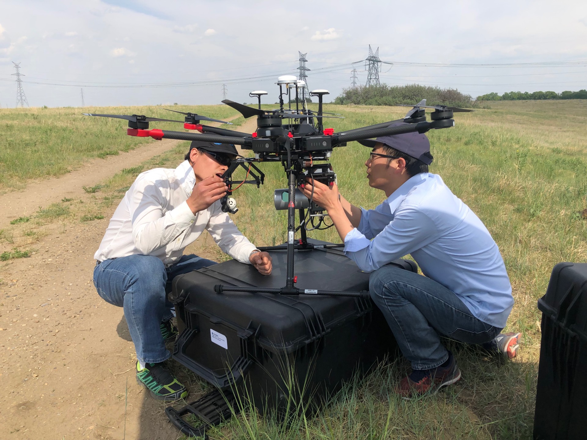
Crop damage caused by wildlife remains a major challenge for farmers, often resulting in significant financial losses and lengthy claims processes. In partnership with AFSC, we developed a first-of-its-kind AI model capable of automatically detecting and tracing animal tracks from aerial imagery. This innovation reduced claims processing times by up to 60%, enabling faster, more accurate assessments and ensuring farmers receive timely and fair compensation.
Read More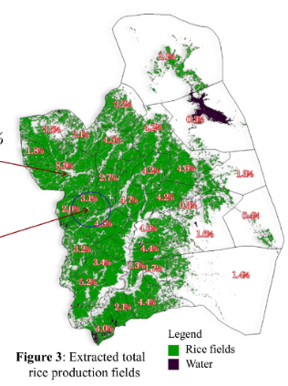
Leveraging RADARSAT satellite imagery, we mapped cultivated areas across key rice-producing regions and generated reliable yield forecasts for the province of Nueva Ecija, Philippines. This data-driven approach provided stakeholders with timely insights to support planning, resource allocation, and food security initiatives.
Read More
In collaboration with AFSC, we developed an advanced AI model capable of accurately delineating farm boundaries while intelligently excluding roads, equipment, and adjacent properties. By automating what was previously a manual and error-prone process, this solution significantly improves the precision and consistency of claims assessments.
Read More